
Great Egg Harbor River Memorandum of Understanding
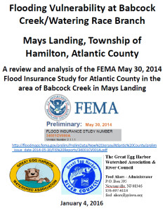
Flooding Vulnerability Babcock Creek/Mays Landing
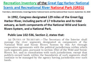
Great Egg Harbor River CMP and E
Coastal Zone Management Rules NJAC 7
Freshwater Wetlands Protection Act Rules NJAC 7:7A
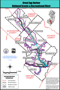
Great Egg Harbor National Scenic and Recreational River – Comprehensive Management Plan – Maps
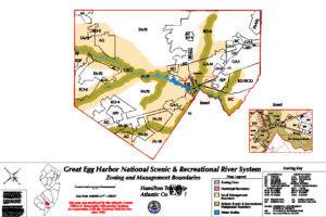
Great Egg Harbor River Zoning Map